Entries tagged maps
Filters: Type: entry × maps × Sorted by date
A tiny web app to create images from OpenStreetMap maps
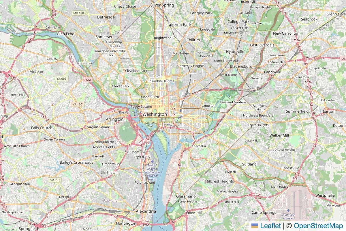
Earlier today I found myself wanting to programmatically generate some images of maps.
[... 1,388 words]Datasette plugins, and building a clustered map visualization
Datasette now supports plugins!
[... 751 words]Is there an open source (or freely accessible) database of geofence coordinates for common places, such as cities or national parks?
Take a look at Flickr’s openly licensed shapefiles:
[... 59 words]Does the Google Maps API let you remove details of the map such as street names to focus on pins on the map?
Yes—you can do this with map styles (which allow you to set the visibility if road labels, among other things): http://developers.google.com/map...
[... 53 words]Yahoo!’s new twist on mapping APIs
One of the most exciting things I’ve seen at Yahoo! since starting here has finally been made public: the new Yahoo Maps. The map application itself differs from many other recent map sites in being rendered entirely in Flash. This leaves far more scope for interface niceties, but doesn’t it reduce the scope for hacking that made things like Google Maps so much fun?
[... 623 words]Google Maps and XSL
I’ll probably write more on this later, but it seems that Google Maps is using XSL. I spotted it loading the following pages while sniffing its activity with LiveHTTPHeaders:
[... 174 words]