9th March 2025 - Link Blog
wolf-h3-viewer.glitch.me (via) Neat interactive visualization of Uber's H3 hexagonal geographical indexing mechanism.
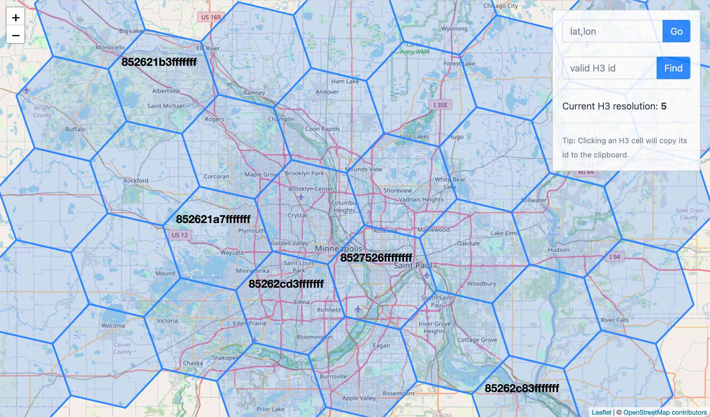
Here's the source code.
Why does H3 use hexagons? Because Hexagons are the Bestagons:
When hexagons come together, they form three-sided joints 120 degrees apart. This, for the least material, is the most mechanically stable arrangement.
Only triangles, squares, and hexagons can tile a plane without gaps, and of those three shapes hexagons offer the best ratio of perimeter to area.
Recent articles
- The Axios supply chain attack used individually targeted social engineering - 3rd April 2026
- Highlights from my conversation about agentic engineering on Lenny's Podcast - 2nd April 2026
- Mr. Chatterbox is a (weak) Victorian-era ethically trained model you can run on your own computer - 30th March 2026